

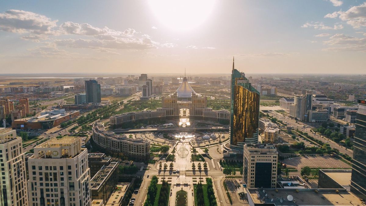
Kazakhstan's capital is set to refine the boundaries of several districts. The announcement was made by Altynbek Akhmetov, head of Astana's Department of Architecture, Urban Planning and Land Relations, at a meeting of the city's maslikhat, as reported by infohub.kz.
According to Akhmetov, the adjustments affect specific areas where boundaries previously followed the riverbed. As a result, the Almaty district will shrink by 106 hectares, from 8,518 to 8,412 hectares. The Nura district will also lose territory, decreasing from 18,927 to 18,516 hectares.
Meanwhile, three other districts will expand. The Yesil district will grow from 20,431 to 20,518 hectares, the Saryarka district from 6,775 to 7,144 hectares, and the Baikonyr district from 18,129 to 18,190 hectares.
"The changes are needed to update the land cadastre and align district boundaries with actual data," Akhmetov explained.