

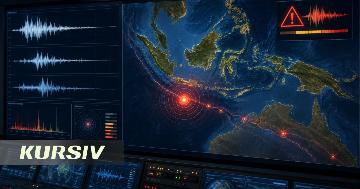
A powerful earthquake struck Indonesia, prompting authorities to issue a tsunami warning. This was reported by infohub.kz citing the Associated Press.
According to Indonesia's Meteorology, Climatology, and Geophysical Agency (BMKG), the earthquake had a magnitude of 7.7. The epicenter was located in the sea, approximately 30 kilometers northeast of the city of Mbai in East Nusa Tenggara province. The quake's focus was at a depth of about 15 kilometers.
Following the tremors, BMKG issued a tsunami warning for several regions of Indonesia. Areas at high risk include parts of East Nusa Tenggara and South Sulawesi provinces. Specifically, the warning applies to the northern districts of Manggarai, Ngada, West Manggarai, Ende, and Sikka, as well as Selayar Island and several other territories.
For some areas, the alert level is SIAGA, which indicates a threat of significant sea-level rise. For other territories, the level is WASPADA, a warning of possible tsunami waves.
The earthquake occurred on August 15 at 04:58 Western Indonesia Time. Initially, BMKG estimated its magnitude at 7.0, but later revised it to 7.7.
After the main shock, additional earthquakes were recorded in the region. In particular, BMKG reported a magnitude 6.2 quake approximately 46 kilometers northeast of Labuan Bajo. The agency warned residents of possible aftershocks.
There have been no reports of casualties or damage so far. Residents of coastal areas are advised to monitor official BMKG announcements and follow instructions from local authorities.