Photo: Aibek Skakov (https://www.pexels.com/@aibek-skakov-418917601) / Pexels
KAZ Minerals races through 1,000 km² aero-survey, taps AI to cut exploration risk
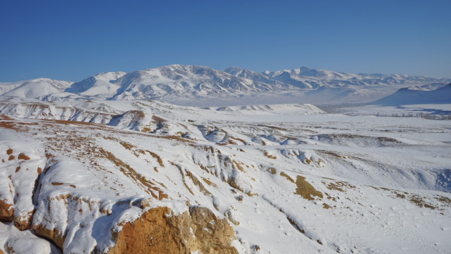
KAZ Minerals has completed a helicopter-borne geophysical survey covering more than 1,000 km² on a Kazakh license area in roughly two weeks and is now shifting to AI-driven data interpretation—an approach designed to locate mineral targets earlier and reduce exploration risk.
This was reported by the Infohub.kz news agency.
What was done: multi-method survey to 600 m
The program combined electromagnetic, magnetic and gamma-spectrometric measurements on a HeliTEM platform operating at a 6.25 Hz base frequency. The configuration provided reliable coverage to about 600 meters depth, giving an early, continuous view of subsurface structures.
Remote terrain, fast execution
The survey area lies about 200 km from settlements and infrastructure. To support operations, the team established a fully autonomous field camp with power and water systems. Despite the remoteness, helicopter productivity enabled the main airborne phase to finish in roughly two weeks.
Next: AI-led interpretation
The project now enters advanced processing and integrated geological–geophysical interpretation. Machine learning methods will fuse geophysical, geochemical and satellite datasets to highlight deep faults, concealed structures and prospective mineralization zones earlier than conventional workflows.
Who carried out the survey
Xcalibur Kazakhstan, part of the Xcalibur Smart Mapping group, executed the airborne work. The group maintains 16 offices across six continents and operates its Central Asia regional office from Astana. The local team also contributes to projects in Angola, Saudi Arabia, Australia and Bhutan, bringing global expertise to Kazakhstan.
Why it matters for Kazakhstan
License-scale aero-geophysics strengthens the national data base, lowers geological uncertainty and improves investment decision-making—objectives that align with Kazakhstan’s drive to modernize aero-geophysical capacity and build digital subsurface maps using international standards and AI tools.
Global precedents
According to Xcalibur, national mapping programs have boosted investment in other countries: Angola’s PLANAGEO helped attract Rio Tinto, Anglo American and De Beers; Saudi Arabia’s Vision 2030 mapping spurred interest from ERG, Barrick and Ivanhoe Mines; Australia’s Exploring for the Future accelerated discoveries and licensing, with similar efforts under way in Zambia.
What KAZ Minerals plans next
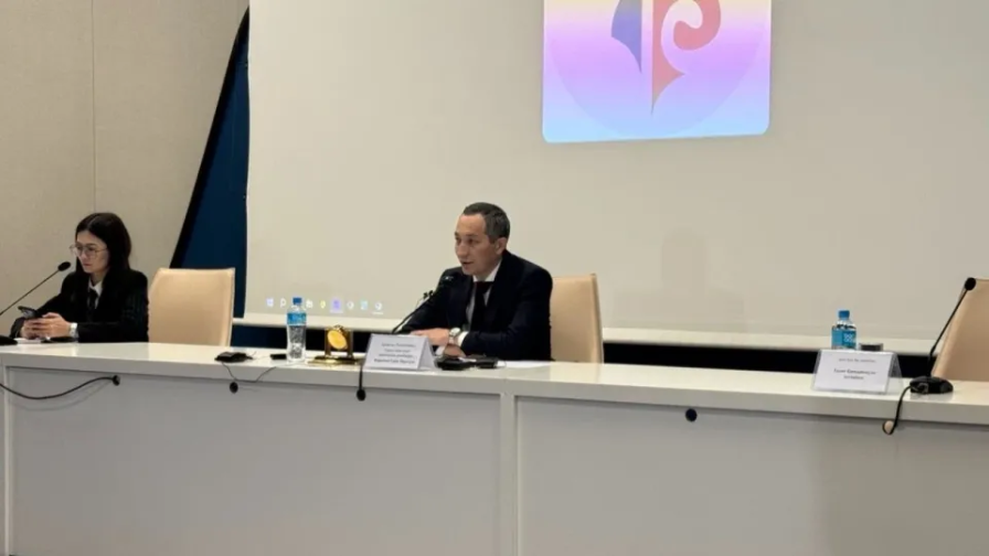
Alexander Rassokhin, head of mineral resources at KAZ Minerals, said the airborne dataset will set priorities for follow-up work, including detailed ground surveys and drilling—supporting a phased progression from regional screening to targeted exploration.


-
Жоба минералдану ықтимал аймақтарын ерте кезеңде анықтап, инвестор тәуекелін азайтуға бағытталған: 600 м тереңдікке дейінгі өлшеулер, халықаралық стандарттар және ЖИ интерпретациясы.
-
Эскорт у берегов Европы усиливает напряженность вокруг санкций и безопасности поставок нефти; за судном наблюдали до десяти американских самолетов и вертолетов.